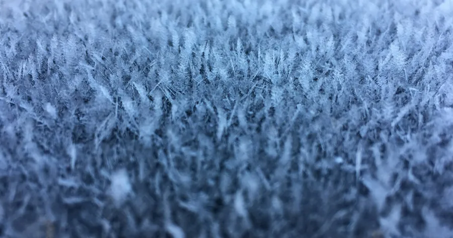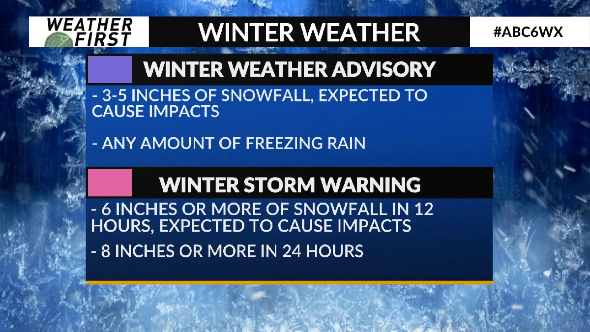
A powerful late winter storm is set to bring heavy snowfall, ferocious winds, and dangerous travel conditions across large swaths of the western United States this weekend. The National Weather Service (NWS) has issued multiple winter storm warnings and winter weather advisories stretching from California’s Sierra Nevada to Nevada, Oregon, Alaska, and even Hawaii’s highest peaks.
In some areas, snowfall totals could approach four feet, while whiteout conditions and hurricane‑force wind gusts threaten to make travel nearly impossible. The winter storm warning for the Sierra Nevada and Western Plumas County takes effect at 5 p.m. Friday and remains in place until 11 p.m. PDT Sunday.
Forecasters expect 1 to 2 feet of snow above 4,500 feet, with 3 to 4 feet possible at the highest peaks in the Sierra Nevada. The Greater Lake Tahoe Area is under a winter storm warning from 2 p.m. Saturday through 11 p.m. PDT Sunday, with communities around Lake Tahoe potentially seeing 6 to 10 inches of snow, while elevations above 7,000 feet may pick up 12 to 28 inches.
A winter storm warning covering Yosemite National Park, Kings Canyon National Park, and Sequoia National Park remains in effect until 11 p.m. PDT Sunday. In these areas, forecasters expect 10 to 30 inches of snow above 7,000 feet, with winds gusting beyond 55 mph, leading to visibility potentially falling below one‑quarter mile.
In Alaska, winter weather advisories remain in effect for the Bering Strait Coast and Western Arctic Coast, with blowing snow and gusts up to 50 mph. Hawaii’s NWS has extended a winter weather advisory for Big Island summits above 12,500 feet until 6 a.m. HST Saturday, warning of snow and freezing rain.
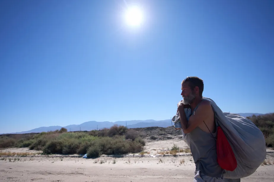
The NWS has cautioned that travel could become “very difficult to impossible,” with conditions described as “treacherous and potentially life‑threatening.” Strong winds could cause damage to trees and power lines, and forecasters warn that conditions could quickly turn “life‑threatening.” Details remain unconfirmed.